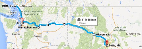
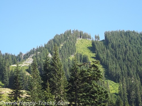
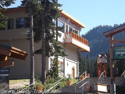
We started heading southeast from Everett and into Mt. Baker-Snoqualmie National Forest and eventually climbing up to Stevens Pass. There was a ski lodge resort there that appeared to be open all year, even when there was no snow, but it had closed for the day before we arrived and took a break in their parking lots. We saw bicyclists coming up and over from the east side. I admire their stamina and determination but didn’t share their interest in bicycling the area.
As we started down the east side of the pass, we were starting to see smoke from wildfires but didn’t know exactly where they were. As we exited the National Forest, we entered Leavenworth, a small Alpine town like several in the area. A tourist town, maybe winter ski area but busy as we drove through.
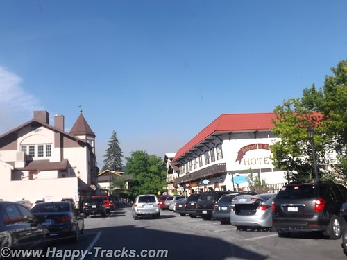
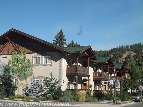
Our friend, Pattie, told us she had stopped in one of those towns several years before and left a dollar bill which would be tacked to the wall with a note indicating Fuquay-Varina where they lived at the time. The town she visited may or may not have been Leavenworth but it was typical of the area.
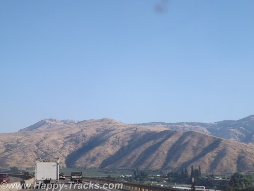
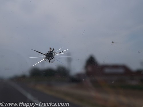
On new pavement, we were passed by a truck headed west and managed to catch a rock from him with our windshield. After the warnings of rocky roads and potential damage in Canada and Alaska, it was somewhat ironic that we did get the crack on fresh smooth pavement in Washington.
We drove on to Wenatchee and stopped for the night in the first place we found available, Inn at the River. The smoke was now very noticeable and it was hot as it would be for the next couple of days. We crossed the river to find our lodging but it took a bit to find the river from the inn as it was on the other side of the freeway and the railroad tracks. We overheard someone at the desk talking about having to be careful in choosing route to Seattle due to the fires and the smoke. Many of the hotel guests were firefighters.
Inn at the River sits across the street from Valley Mall. We went in to replenish the vitamin supply at a GNC store and then had dinner at Shari’s Restaurant and Pies. Shari’s is a chain similar in concept to Denny’s, Perkins, etc. We had eaten one in Bangor for the sub reunion as it was across the street from the hotel where we stayed there. The food was good and the pastry looked tempting but we passed.
We continued east towards Spokane through miles and miles of relatively flat land given to orchard agriculture. Through much of the area, the crops were identified by signs alongside the road. It helped us see the variety of crops and helped with the “What’s that?” questions that always seem to arise as we go through farm country.
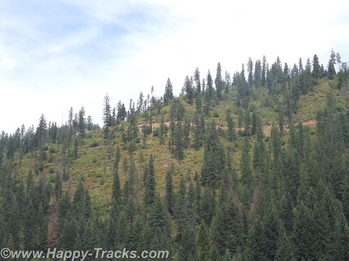
We dropped down and picked up Interstate 90 into Idaho and stopped for lunch in Wallace. Wallace is in a pass with mountains on both sides with the interstate highway squeezing through. Wallace turned out to be about 4 blocks wide, all on the same side of the interstate.
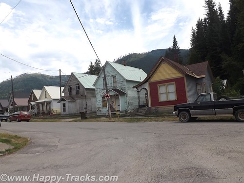
Wallace had been a silver mining town and the restaurant where we stopped for lunch had a gift shop with silver jewelry on display. The restaurant was pretty quiet with the hostess/waitress/cook all being the same person.
There was an accordion festival scheduled for the coming weekend. Wallace also has a brothel museum but we didn’t find out about it until after we had already left. There were numerous references to bicycle races as Wallace is a major stop on several annual cross-country races.
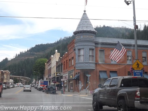
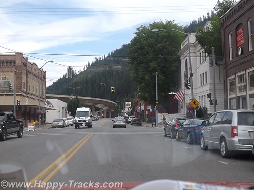
As we left town, the entrance and exit ramps overlapped each other at different elevations in order to fit it all in.
We continued to Missoula, Montana where we discovered that ZZ Top was playing that night. Lodging was filled for most of the chains near town with concert-goers but we did manage to find a place for the night.
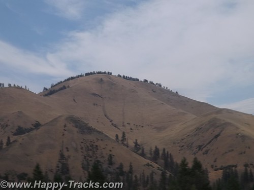
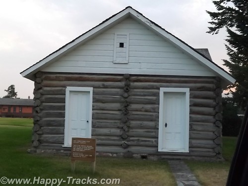
In 1877, construction began on Ft. Missoula, destined to become home to the 25th Infantry Regiment, one of four companies known as the Buffalo Soldiers formed after the Civil War with Black Soldiers serving under white officers. The 25th was one of the first called into action when the Spanish American War broke out in 1898 serving bravely in the Philippines and Cuba but was reassigned to other posts after the war. During WWI and WWII, the site was used to inter Italian aliens and later Japanese persons. The site has been used for training, for prison and holding cells and was eventually decommissioned in 2001. Much of the original post’s land is under the control of the Interior and Agriculture departments as well as the Missoula County which uses it as an historical museum.
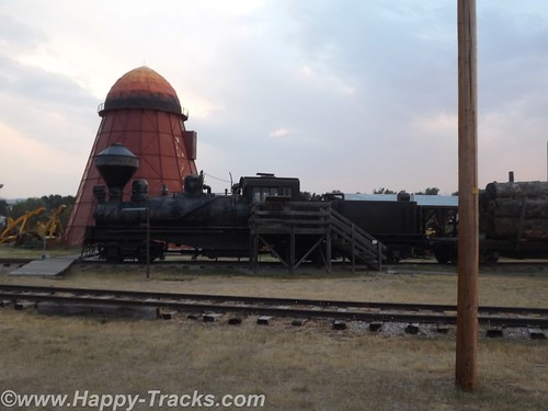
The historical park includes displays of trains from the steam era as well as sawmills equipment of the type used to build the original fort.
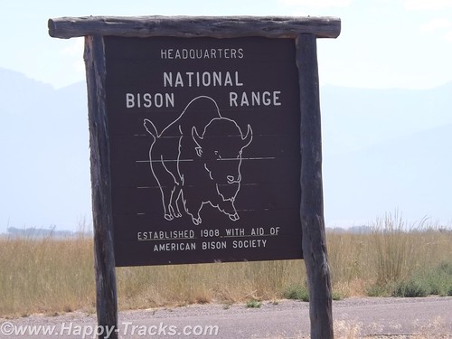
The next morning, we headed north to Dixon Montana and the National Bison Range (NBR), under the direction of the US Fish and Wildlife Service. The NBR was established in 1908 as a home for the dwindling bison herds in this country. Bison are believed to have once numbered in the tens of millions but were down to about 100 by the late 1800s. Bison were found in all the states except Hawaii. Settlement and irresponsible hunting dwindled the numbers extensively so that the initial herd was in the low hundreds when the 18,000 acre reserve was established. The original herd released in 1909 was purchased by the American Bison Society and donated. This is not the only herd still found in North America (as evidenced by some of earlier parts of our travels) but this herd was established expressly for preservation.
Bison herds in the Mission Valley date back to the late 1800’s when a Pend d’Oreille man of the Flathead Reservation returned home from the plains of eastern Montana with four bison calves. The herd quickly grew to 13 animals. At that point, partners Michel Pablo and Charles Allard bought the herd. The Pablo-Allard herd thrived in the Mission Valley’s open grasslands. It became one of the largest private bison herds at the time when bison were most threatened with extinction. However, when it was announced the Flathead Indian Reservation would be opened for homesteading in 1910, surviving partner Pablo began making arrangements to rid himself of his herd. The US Government declined to purchase the bison so Pablo sold them to Canada.
Just after this, the American Bison Society pushed the US government to set aside land to protect and conserve the American bison. The National Bison Range was one such area. And after its establishment, the American public pitched in to provide funds to purchase bison to place on the new Refuge. The American Bison Society, under the direction of William Hornaday, solicited donations throughout the country. Over $10,000 was raised, enough to purchase 34 bison from the Conrad herd. Located in Kalispell, Montana, these bison were descended from the famous Pablo/Allard herd. To supplement this, Alicia Conrad added two of her finest animals to the effort. The Refuge also received one bison from Charles Goodnight of Texas and three from the Corbin herd in New Hampshire. These 40 animals, all donated to the Refuge and coming from private herds, form the nucleus of 300-400 bison roaming the Range today. from http://www.fws.gov/refuge/National_Bison_Range/about.html
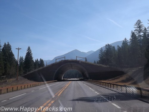
Before arriving at the visitor center, we passed under a land bridge which had been constructed over the highway. The land bridges allow animals to cross without being endangered/bothered by the traffic.
We entered NBR through the visitors’ center which had much information about the bison including a display about a white bison which had been part of the herd which has since died. There was another white bison born on a bison farm in Connecticut in 2012. The white bison holds particular spiritual significance to the American Indians. The rare white bison made news coverage at the time and draws crowds to see it. We also learned the difference in antlers and horns on animals. Antlers are shed on a regular basis but horns are permanent, perhaps this is one of those things we “should” have known but it was new knowledge for us.
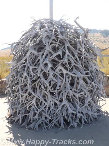
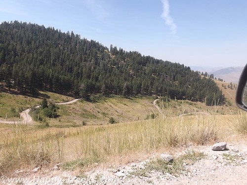
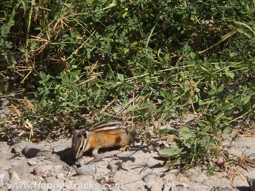
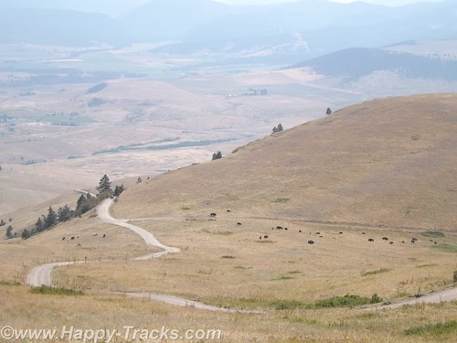
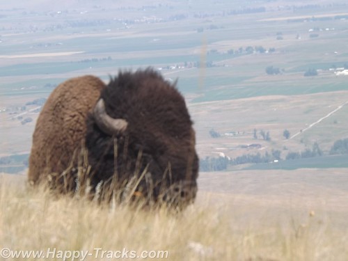
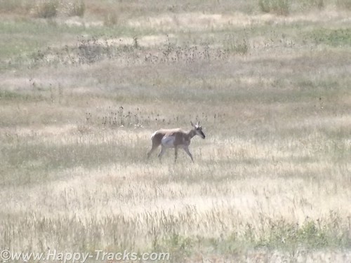
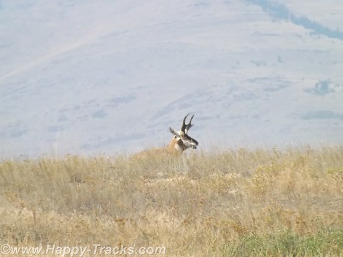
The NBR has a dirt road that winds through and covers a range in elevation of 2600 feet above the visitor center. There is a shorter track which covers less distance and elevation for larger vehicles like buses or large RVs. We took the longer winding route and saw bison, pronghorns, mule deer and a chipmunk. The dirt and gravel road would be easily traversed in a standard sedan.
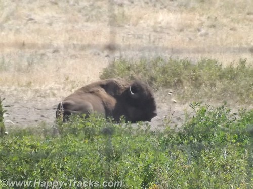
After leaving the NBR, we got back onto I90 heading towards Butte, MT. Just outside the gate is a small general store and café but it wasn’t open the day we were there.
You can see all of the pictures from this leg of the trip here.
We invite you to continue along with us and hope you enjoy the account!
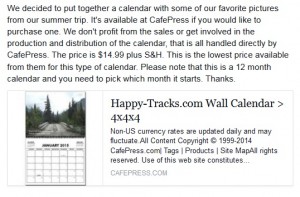
Don’t forget the trip calendar we put together at CafePress.
