Unexpected Road Like a Malaria Germ and into Sedona

When we told friends that we would be staying in Flagstaff, several recommended that we include Sedona in our plans. When we mentioned we were including Sedona in our plans, the recommendation was to avoid the Interstate and make sure we took the scenic Hwy 89A. When we told the GPS we wanted to get from Flagstaff to Sedona, our plotted route sent us along scenic 89A.

We left Williams and headed back towards Flagstaff. We planned to go on one of the Jeep tours into the Red Rock country around Sedona on Sunday so decided to drive down and check out the area a little bit rather than just booking over the phone or internet.
The roadway started out as a two lane paved road moving through rural area actually passing by Fort Tuthill, a recreational campground associated with Luke AFB.

Then the road started to get a bit more scenic and um, interesting.
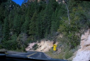
The speed limit decreased and the yellow road warning signs showed what appeared to be more correctly identified as u-turns.  If you drive in the mountains much, you are familiar with switchbacks. Although we didn’t get a picture of it, the path on our GPS map screen looked all squiggly, doubling back on itself and reminded of the line from the CW McCall song, Wolf Creek Pass.

Well, from there on down it just wasn’t real purdy: it was hairpin county and switchback city. One of ’em looked like a can full’a worms; another one looked like malaria germs. Right in the middle of the whole damn show was a real nice tunnel, now wouldn’t you know?  (Bill Fries, Chip Davis)

-CW McCall “Wolf Creek Pass”

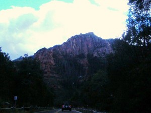
The ride took us alongside the Oak Creek. As local schools were beginning a one or two week fall break, the several campgrounds along the creek and in the canyon were full. Traffic was not especially heavy although there were enough cars around to require close attention but we moved along at a reasonable rate.

Along the creek, there were a mixture of private residences, small commercial establishments (shops, B&Bs, eateries) and USFS campgrounds.
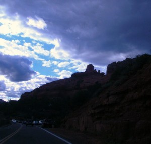
As we passed some of the more popular businesses like an outside ice cream stand, traffic got a bit heavier and slowed down with more traffic in both directions. About a mile or so outside of Sedona, it was bumper-to-bumper and essentially stopped. It was a pace that would rival the Beltway and 95 North interchange on a Friday afternoon…but on a much smaller scale that didn’t last as long. As we crept along we enjoyed the scenery and the deep red color of the rocks that the area is known for.

As we cruised (crept?) into Sedona, the landscape went from forest to citystreet in a very short stretch of 500-1000 feet. This main street was wide and pedestrian friendly with lots of on-street parking and numerous signs to off street public parking.  Wide sidewalks separated the street from one and two story storefronts. The storefronts were an eclectic mix of touristy shops, restaurants, tour operators, artistic galleries and mixed retail. It was almost as much fun to walk along remembering pre-Mall Main St as it was to investigate the shops and watch the people along the way.

We planned to make arrangements for a Jeep tour of the surrounding area the next day and wanted to look at some turquoise jewelry. We had done some research on the internet and there were some shops that had looked interesting but the jewelry wasn’t quite what we seeking. We did run into some very helpful and some very persistent shopkeepers but it just wasn’t “it”. So we bought no jewelry that day.

We did however make arrangements for our Jeep tour. We had wanted to take the Soldiers Pass tour but it was full up (and at 8:00 am) so we booked a combined tour for tomorrow afternoon which combined Old Bear Wallow and the Cowboys and Canyons tour.

It had gotten dark and it was time for dinner. There were plenty of restaurants to choose from and varied in their fare from typical pub fare, various barbeques, Thai, vegetarian and southwestern. We chose the Oaxaca Restaurant for some traditional southwestern/Mexican fare which was quite tasty. The margaritas were pretty good as well.

After dinner, we made our way back to the car and chose to make our way back to the hotel via the interstate rather than run the gauntlet of campgrounds along Oak Creek Canyon. After preparing a couple of postcards, we turned in for the night.

Up in the Air and a Nod to Route 66

Saturday morning and sleeping late still works for us. Breakfast bar fare and then off for the day. We followed the I40 route to Williams and then turned north towards Tusayan and our helicopter ride. A scenic and uncrowded drive which surprised us a bit as we figured Saturday would bring a few more fellow traveler/tourists out.
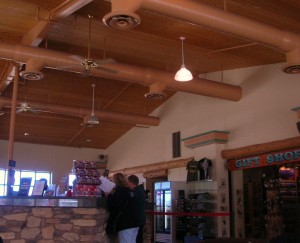
Each helicopter can carry up to 7 passengers in addition to the pilot. While you’re checking in (or making the reservation), you stand on a square in the floor which is a subtly disguised scale as each chopper also has a weight limit. They use the weight somewhat to distribute passengers within the chopper. So Betty was given the option of riding upfront while Keith was relegated to the back. The other passengers were two women who were together and two men who were traveling on their (probably) rented Harleys.
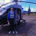
As we prepared to board we met our pilot, Brice. He asked the general questions like “Where are you from?” It turns out he has family in Frostburg Maryland. I’m guessing there aren’t a lot of jobs for helicopter pilots in Maryland unless one is actively in the military. Then each group of two got a picture taken with Brice in front of the chopper (which would be printed and waiting for you to buy as we returned from our flight).

Brice then explained to all of us how the seatbelts worked and explained that we needed to attach our inflatable life jackets to our belts since we would be flying over water. We have since decided that IF the helicopter was to go down and IF Brice was able to actually put it in the water and IF we survived, we should definitely consider a reward for him because the water sure was a very small percentage of the available area. But then, he never did tell us how to inflate them. On to our flight…

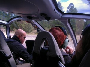
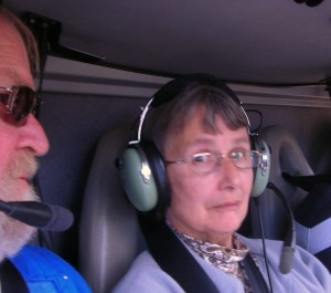
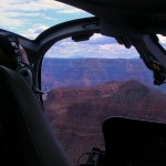
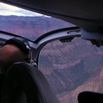
We loaded up. Four in the back (Betty, Keith and the two guys), the two women plus pilot in front. We wore earphones with a sound-activated mike attached.

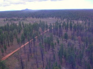
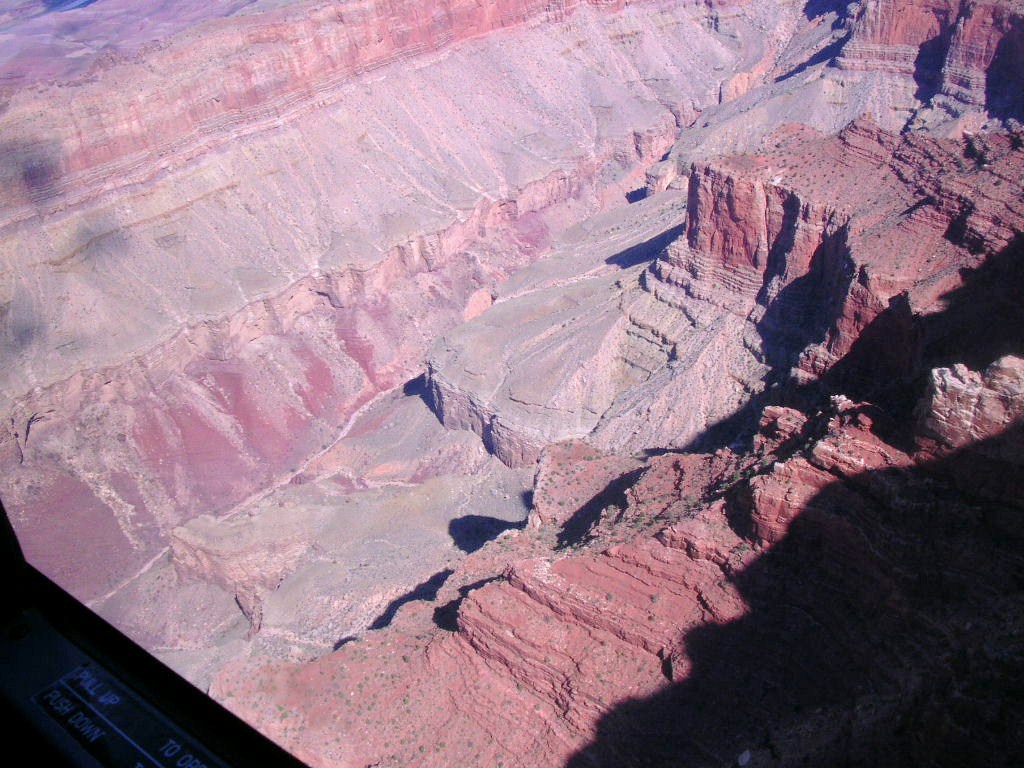
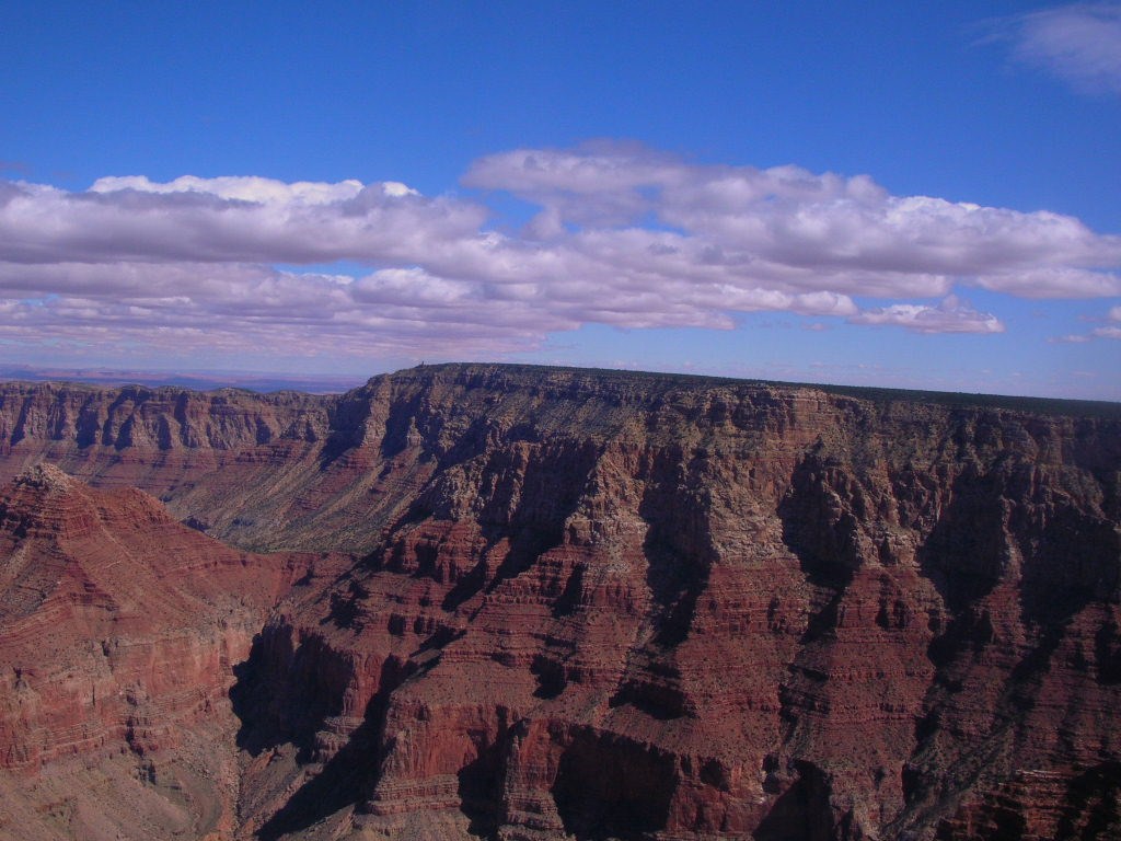
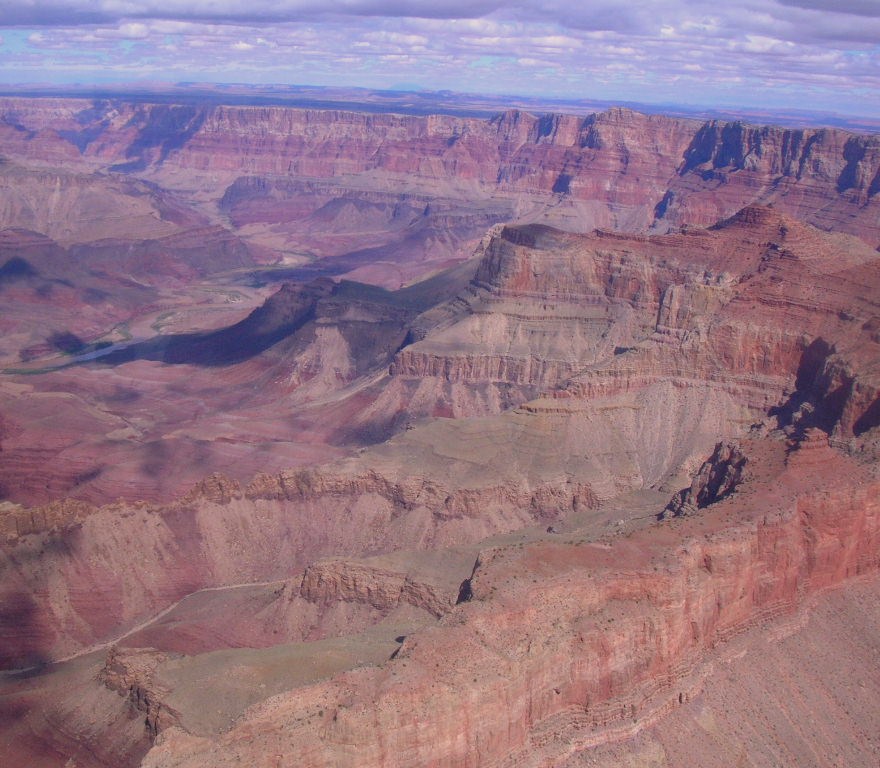
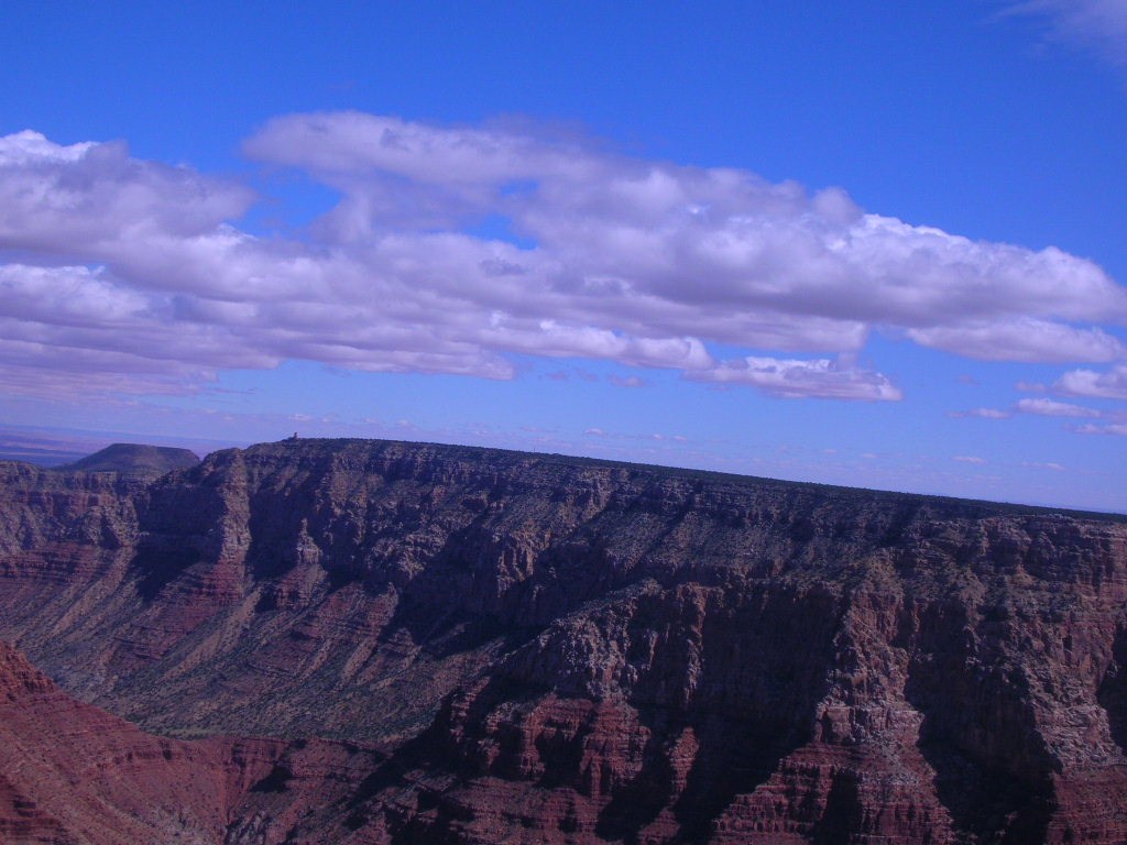
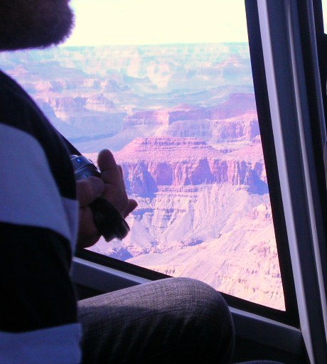
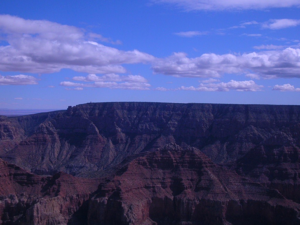
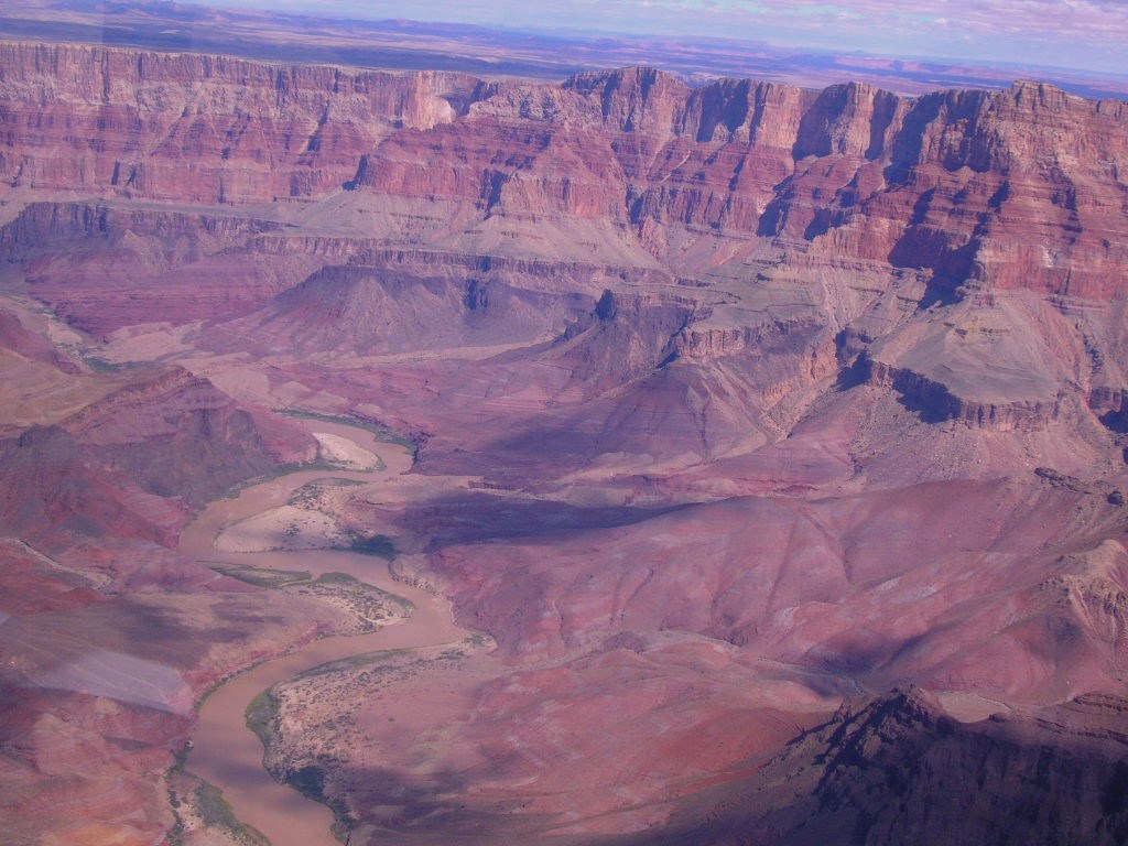
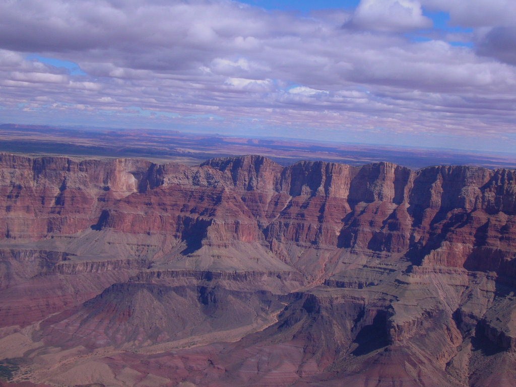
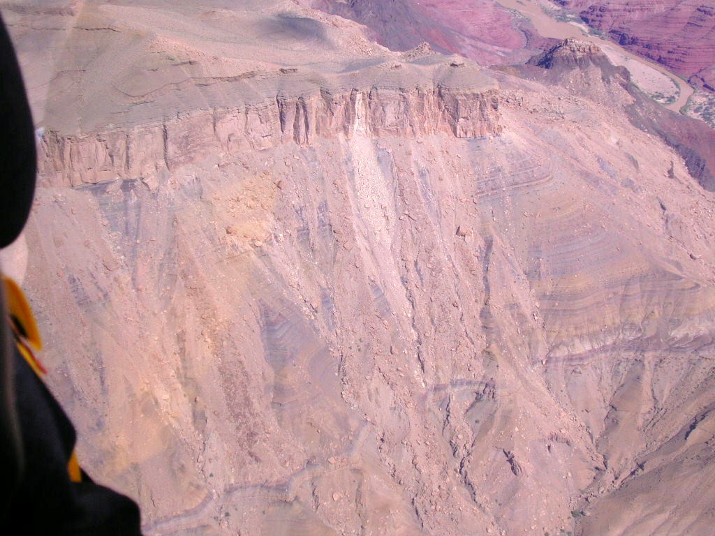
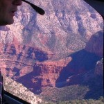
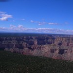
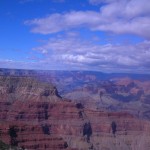
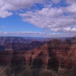
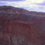
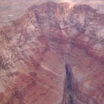
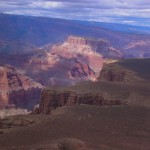
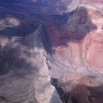
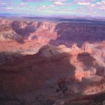
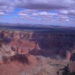
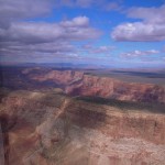
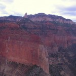
The airspace over the Grand Canyon is tightly controlled to enable the helicopters to provide the tours while maintaining empty and quiet airspace at most of the popular viewing areas. So rather than taking the most direct route, we flew over the Kaibab National Forest for quite a few miles to get past the tourists at the Mather Point and flew into the Canyon just west of the Watchtower. The same thrill that welled up when we walked to the Grand Canyon was there again as we heard Brice announce “welcome to the Grand Canyon” and saw it from this perspective.

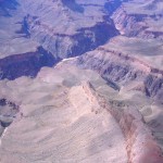
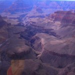
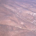
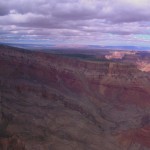
Words don’t it justice and the pictures can’t accurately convey just how massive and Grand it really is but we’ll turn it over to the pictures to tell the story.


We passed over the confluence of the Little Colorado River and the Colorado River. The Colorado was a muddy brown from all the runoff of recent rains and snows upriver. The Little Colorado River, which drains the Painted Desert, is a vibrant aquamarine color. It was amazing how there seemed to be no mixing, the Little Colorado was aqua and the Colorado was brown but it was a distinct line where the two came together.

Our flight path included a pass over the North Rim where there was snow on the ground in many places. Brice told us of a controlled burn in the 80s that targeted 2500 acres that got out of control and burned some 14,000 plus acres. You could still see signs of it. Too soon our flight ended and we came back in over the Grand Canyon airport and a return to the terminal where we were given the opportunity to purchase several items including the picture they had taken before takeoff as well as a DVD of the helicopter’s in-flight camera with audio provided courtesy of our digital microphones. Alas, there was a malfunction in our recording but we bought the picture and some very special red plastic helicopter pens to share with family and friends.

We had seen the sign for the Grand Canyon Post Office in Tusayan the day before and decided to stop by there to mail some postcards before departing the area. The Post Office is in the back left corner of the General Store and Trading Post and was closed because it was Saturday, but the General Store was open!

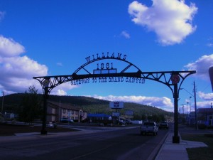
We next headed south on 64 to Williams. Williams is at the intersection of I-40 and 64. It is also the southern terminus of the Grand Canyon railway. Before the interstates came through, it was at the crossroads of the famous Route 66. Today, the train, an interstate exit and the tourist trade seem to be its primary sources of support. Of course, gasoline prices at 50 cents more than we saw anywhere else may help the local economy as well.

After a refill on the coffee cups, we bid our farewell to Williams and headed east on I40 back towards Flagstaff.

As it was still relatively early in the afternoon, we mapped our path to Sedona following recommendations from the ExpeditionPortal and the Garmin. But that’s another entry.